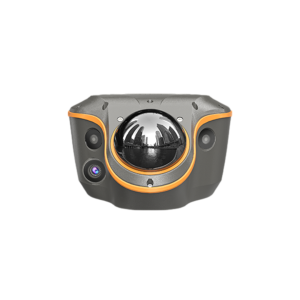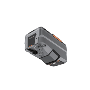
Description
The AlphaAir 9 is an advanced aerial surveying solution that seamlessly integrates LiDAR and RGB sensors to meet the needs of professional UAV LiDAR mapping and drone photogrammetry. Leveraging CHCNAV’s cutting-edge LiDAR technology, theAA9 flawlessly integrates high-precision LiDAR, accurate GNSS positioning, IMU orientation and an industrial-grade orthophoto camera. Combined with CHCNAV point cloud and image fusion modeling software, the AA9 provides a survey-grade, efficient and cost effective approach to 3D data acquisition and processing. The AA9 Airborne LiDAR + RGB System accelerates accurate 3D data collection within a single mission and simplifies the process of capturing 3D reality through a streamlined workflow.