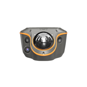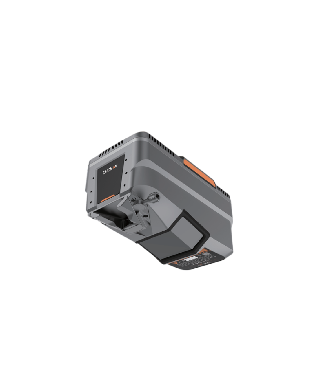
Description
The AlphaAir 15L (AA15L) is a lightweight airborne LiDAR system developed by CHCNAV. It combines long range scanning capability and high accuracy with an extremely fast data acquisition rate, all in a compact design. The AA15L is ideal for scenarios where high density data is required to accurately extract building and road information from point clouds. For large-scale operations, especially in mountainous areas with significant elevation changes, the AA15L accurately detects ground features even at the bottom of valleys. Equipped with a variety of cameras to meet diverse needs, the system can be mounted on light aircraft, helicopters or UAV platforms.